
Anaheim Standard Delivery ZIP Codes
The ordinary residential delivery ZIPs associated with Anaheim are 92801, 92802, 92804, 92805, 92806, 92807, and 92808. They cover broad postal areas rather than precise neighborhood or legal boundaries. The table is a starting point for the Anaheim ZIP code directory, not a substitute for checking an address point against the city boundary.
Each postal area can include more than one planning geography. ZIP 92805 reaches central and downtown Anaheim, the Colony, and part of the Platinum Triangle. ZIP 92802 reaches a southwest-central and Resort-Harbor corridor. ZIP 92807 and 92808 reach eastern Anaheim and Anaheim Hills or canyon areas. These descriptions are approximate, so verify the exact parcel.
| ZIP | Approximate area | Postal pairing | Directory note |
|---|---|---|---|
| 92801 | West and northwest Anaheim | City facility uses 92801 | Verify city jurisdiction |
| 92802 | Southwest-central and Resort-Harbor corridor | Paired with PO ZIP 92812 | Not the Resort boundary |
| 92804 | West and southwest Anaheim | Paired with PO ZIP 92814 | Brookhurst, Ball, Euclid sectors |
| 92805 | Central, downtown, Colony, part of Platinum Triangle | Paired with 92815 | City Hall and Heritage Center use 92805 |
| 92806 | East-central Anaheim | Paired with 92816 | State College, Sunkist, Miraloma |
| 92807 | Eastern Anaheim, Anaheim Hills, canyon sectors | Paired with 92817 | Peralta Recreation Center uses 92807 |
| 92808 | Far-east Anaheim Hills and Santa Ana Canyon | Paired with 92809 | East Anaheim Community Center uses 92808 |
PO Box and Special Anaheim ZIP Codes
Not every Anaheim postal code is a residential neighborhood. ZIP 92803 serves PO boxes at the Anaheim Post Office. ZIP 92809 is a special or PO-box route paired with 92808. ZIPs 92812, 92814, and 92815 are PO-box or facility routes paired with 92802, 92804, and 92805. ZIPs 92816 and 92817 are special routes tied to 92806 and 92807.
ZIP 92825 is a special or unique Anaheim ZIP paired with 92803 in the current USPS routing list, while 92899 appears as an Anaheim processing or operational ZIP. The public evidence reviewed does not identify a customer or facility for 92825. A ZIP code directory should label these as postal routes, not turn them into neighborhood pages.
- Standard delivery ZIP
- A ZIP used for ordinary street delivery to a broad postal area.
- PO-box ZIP
- A route centered on post-office boxes rather than a residential polygon.
- Unique ZIP
- A special postal code tied to a specific customer or routing purpose.
- ZIP+4
- A more precise delivery extension that does not define municipal jurisdiction.
92805 Connects Anaheim Colony and Planning Areas
ZIP 92805 is a useful example of why a ZIP code directory needs a boundary warning. It covers central and downtown Anaheim, the Colony, and part of the Platinum Triangle. City Hall and the Heritage Center use 92805, but the ZIP also reaches a changing planning area around Angel Stadium, Honda Center, and ARTIC. Postal geography, historic districts, and planning districts overlap without being identical.
The Platinum Triangle has nine planning districts, including Arena, ARTIC, Katella, Stadium, Gateway, Gene Autry, Orangewood, Lewis, and Office. A ZIP result can narrow the search to the broad area, but the parcel's city boundary, address point, legal lot, and APN answer the jurisdiction question. Do not infer a planning district from a ZIP alone.
Note: Anaheim's General Plan describes broad policy areas and warns that their boundaries are not precise legal resident-directory lines.
92807 and 92808 Cross East Anaheim
ZIP 92807 reaches eastern Anaheim, Anaheim Hills, and canyon sectors. ZIP 92808 reaches farther east toward Anaheim Hills and Santa Ana Canyon. The two ZIPs are associated with PO or special routes 92817 and 92809. Their labels can be useful when sorting an address set, yet the canyon and hillside geography makes exact city-boundary checking especially important.
For one address, use the postal ZIP only as a first clue. Open the Anaheim city-boundary layer, compare the address point with the boundary, and inspect parcel and legal-lot data. Then carry the APN to the Assessor or Recorder route. A ZIP code directory is helpful at the discovery stage; it is not the title or city record.
An Anaheim Mailing City Is Not Proof
A postal last line reading Anaheim does not prove that a parcel is inside Anaheim. USPS routes mail. A city boundary determines municipal jurisdiction. A named planning area is another layer. Unincorporated land can share a postal name, and a parcel inside a planning area can carry a ZIP that reaches beyond that planning area.
Use the ZIP for mail and address matching. Use Anaheim GIS for the city boundary, parcel, legal lot, and address point. Use the county Assessor, tax search, or RecorderWorks when the question becomes ownership or title. This three-part check keeps a ZIP code directory from making a false city claim.
Boundary check. A ZIP code identifies a routing area. It does not prove a parcel's city, owner, occupant, or legal description.
The official Anaheim City Boundary layer is the jurisdiction source for this comparison.
Verify Anaheim Postal Routing with USPS
USPS city and state lookup can verify the mailing ZIP for an address. The current routing list also shows how Anaheim ZIPs pair with PO or special codes. Use the address-level lookup when a last line is uncertain, then compare the result with the parcel's situs and the city boundary. A post-office facility can use a ZIP that does not function as a residential neighborhood.
The current DMM L012 list is effective July 1, 2026. A December 2022 Postal Bulletin changed container routing for 92806 and 92816 to ANAHEIM CA 92806, but that routing change is not proof of a geographic boundary change. Keep routing history separate from city history.
Check the Anaheim Post Office location information and the USPS lookup route before using a ZIP in a directory entry.
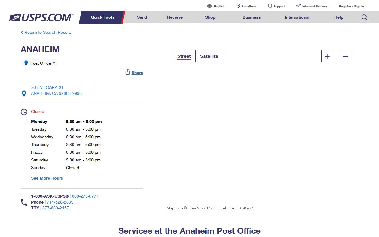
The USPS image is a postal evidence point. It verifies routing, not the full set of people or parcels behind the ZIP.
Verify Anaheim Jurisdiction with GIS
Anaheim's official GIS layers provide the second half of the ZIP code directory check. Start with an address point, compare it to the city boundary, and inspect the parcel or legal lot. The base map includes street labels, centerlines, assessed parcels, cities, and an unincorporated label. The parcel application adds APN, address, legal, land-use, zoning, flood, historic, and district context.
The ZIP layer is useful for seeing how postal geography crosses the city, while the boundary layer answers whether the parcel is in Anaheim. If the two disagree, preserve both results and use the custodian appropriate to the question. Do not repair a boundary mismatch by guessing.
Open the official Anaheim ZIP map service for the map layer, then move to the city boundary and parcel detail.
The ZIP-layer image shows postal geography as a map layer. The city boundary still has to be checked separately.
Use the Anaheim City Boundary layer for the jurisdiction comparison.
The city-boundary image shows why a ZIP code directory must keep postal and municipal geography side by side.
Why Anaheim ZIP Cannot Replace APN
A ZIP code groups mail delivery. An APN identifies a county parcel. A situs address locates the physical property. An owner mailing address identifies where tax notices go. A legal description identifies the tract or lot apart from a street name. These fields can point to the same place, but they do different work.
For a person or property question, use the ZIP to narrow the address, then record the APN and legal description. The Treasurer-Tax Collector can convert an address or APN to a statement view. The Assessor's free value search needs the eight-digit APN and suppresses the owner name. RecorderWorks uses a person, APN, legal description, or document identifier, not a street ZIP browse.
- Situs
- The physical location of the parcel.
- Mailing address
- The destination for tax correspondence, which may be outside Anaheim.
- APN
- The assessor parcel number used to identify land in county systems.
- Legal description
- The land description that supports title and map research.
Once a ZIP narrows the area, street-level work belongs in the Anaheim street directory workflow.
The 2022 Anaheim 92806 Routing Change
The Postal Bulletin records a container-routing change for 92806 and 92816 to ANAHEIM CA 92806 in December 2022. That is a mail-handling update. It does not establish that a delivery boundary moved, that a parcel entered Anaheim, or that an older address was renumbered.
When a historical address appears under a different postal last line, compare the old street, current street, APN, legal description, and city-boundary layer. A routing label can change while a parcel remains in the same place. The cautious ZIP code directory records the source and date of the routing statement.
ZIP-Capable Anaheim Searches Beyond Property
Some official indexes can use a ZIP as one field, but that does not make them a ZIP-wide resident directory. The California Department of Alcoholic Beverage Control search offers business address, city, ZIP, county, census tract, and license-type reports. The mode is useful for a business or license question. It is not a list of households or a proxy for the assessor or voter file.
| Search mode | ZIP-related field | What it supports |
|---|---|---|
| Business address | Address plus city | Check a named license location |
| Reports by ZIP | ZIP | Sort licensed businesses in a postal area |
| County and tract | County, census tract | Regulatory geography, not city limits |
| License type | Statewide type | Filter a defined license class |
No official ZIP-wide assessor or voter browse was verified in the research. Use a name or address with the proper custodian instead of treating a ZIP code directory as an unrestricted people list.