
Mapping Anaheim Neighbors Around One Address
A block lookup should begin with the target parcel, not a guess about who lives nearby. The Anaheim GIS map can locate an address, expose the parcel polygon and APN, and let a researcher click adjacent lots. The county Assessor can supply fuller roll information through a counter or written route. Tax search converts addresses to APNs. RecorderWorks connects named owners to instruments from 1982 forward. Permits and reverse directories add dated history.
Each source has a different access rule. None supplies a complete list of neighbors. The table shows what a block research trail can actually support.
| Source | What it shows about a block | Access |
|---|---|---|
| Anaheim Property Info | Parcels, APNs, addresses, ZIP, zoning, land use, districts, permits | Free map; click adjacent lots |
| Orange County Assessor roll | Current roll owner, mailing field, values, exemptions | Counter or written request; web suppresses owner |
| OC tax search | Address-to-APN and tax statement context | Individual address or APN search |
| RecorderWorks | Named-owner instruments and some APN or legal references | Free index from 1982; no street browse |
| Anaheim permit report | Address, APN, work history, dates, contractor fields | Free sortable table and CSV |
| Neighborhood Services | District contacts, public meetings, city engagement | Public city resource; not a member roster |
Map the Parcels Around an Anaheim Address
The verified adjacent-parcel method uses zoom, pan, and individual clicks. Search the target address, select the parcel, and zoom until address points and lot outlines are clear. Pan along the street segment. Click each immediately adjoining polygon and preserve its APN, situs, land-use, ZIP, district, and permit fields. The map supports spatial and distance queries, but a public radius or buffer button was not verified.
After the map is stable, take each APN to the correct custodian. Do not infer an owner from a mailing address or stale tax bill. Do not infer an occupant from an owner. For a full named-street chain, the street directory workflow is more suitable than repeating an adjacent block click.
- Search and select the target parcel in Anaheim Property Info.
- Record the APN, address, legal data, ZIP, and annexation field.
- Click each adjoining lot and keep one row per APN.
- Compare city-boundary, zoning, flood, historic, council, and school layers.
- Use the Assessor, RecorderWorks, or permit route only for the defined parcel question.
Open the Anaheim Parcel Information viewer for the map start. It identifies parcels and geography, not every household.
What Each Anaheim Neighboring Parcel Can Reveal
A clicked parcel can supply an APN, address, legal description, ZIP, zoning, General Plan land use, flood or historic layer, council and school district, inspection area, and permit context. The parcel layer carries house number and street fields and supports paginated queries. These are strong geography clues. They do not identify a current resident or provide a private household count.
An annexation date can be especially useful in Anaheim. An older source may place a present parcel under county or neighboring-jurisdiction records, while a newer permit belongs to the city. Preserve the date and source rather than smoothing the change into one continuous municipal history.
- Parcel
- A mapped piece of land identified by an APN.
- Adjacent parcel
- A lot that touches the target parcel in the map, not a person who lives nearby.
- Situs
- The physical location of the land.
- Annexation date
- A GIS field that can explain when city records begin for a property.
Request Anaheim Roll Information Without Confusing Occupant
The Orange County Assessor's online secured-value form accepts an eight-digit APN and suppresses the owner name. Fuller public information, including the owner and separate mailing and situs fields, is available through the counter or a written public-record route. The office is at 500 S. Main Street in Orange and lists (714) 834-2727 for property information.
A neighbor lookup should describe what the roll can show: a current roll owner, mailing field, value, exemption, or parcel connection. It should not call the owner an occupant without another dated source. The Treasurer-Tax Collector can show an address-to-APN and tax-statement context, but a tax bill can carry the January 1 lien-date owner's name after a sale.
Use the Orange County Assessor property information route and keep any written request tied to a defined parcel set.
Read Permit Activity Across an Anaheim Block
Anaheim's permit report can be sorted by an issued or finaled milestone and a date range of no more than ten years. Results include permit number, status, address, description, received/issued/final dates, APN, residential or commercial category, job valuation, owner-builder flag, plan-check status, work type, contractor name, and contractor phone. Export the table to CSV, then filter for the street or group of APNs.
Permit activity can reveal a pattern of additions, repairs, or new construction across a block. It dates municipal work, not household membership. If a deeper file is needed, cite the address, permit number, project number, and dates in a city portal or CPRA request. Code-enforcement records have their own form and may include complaints, notices, photographs, violation letters, and civil citations, with personal details withheld when protected.
See the Anaheim issued-permit report for the date-window route.
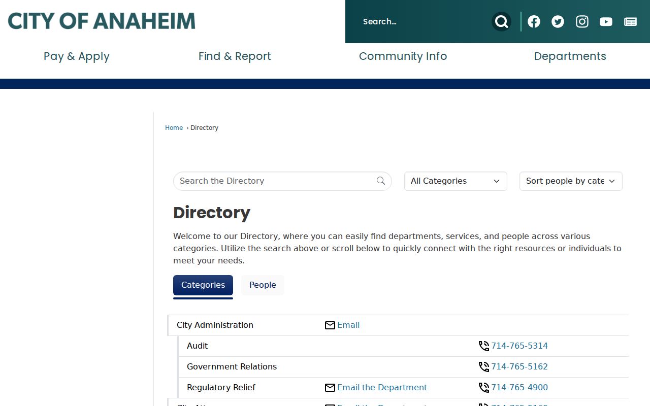
The Anaheim staff directory image points to public staff contacts, a civic layer that should not be mistaken for a private member list.
Anaheim Neighborhood Services Has Six Districts
Neighborhood Services publishes city staff contacts, reference tools, a district map, public meetings, and community engagement information. The research identifies six council districts: District 1 in west Anaheim, District 2 in west Anaheim, District 3 in downtown Anaheim, District 4 in central-south Anaheim, District 5 in central-east Anaheim, and District 6 in east Anaheim. In October 2025, district meetings shifted to a drop-in, two-hour open-house format.
These contacts can help a person reach a public meeting or city department. They do not identify private households and do not create a member directory. The named staff contacts are Emily Perez at (714) 765-4397, Cynthia Eulloquí at (714) 765-4990, Eric Torres at (714) 765-4635, and Jason Perez at (714) 765-4398.
| Public contact layer | What it offers |
|---|---|
| Neighborhood Services | City staff, district map, public meetings, reference tools |
| District open house | A public place to speak with city department tables |
| Historical neighborhood areas | Older city geography, not a current private roster |
Read the Anaheim Neighborhood Services page before using a district label to describe a block.
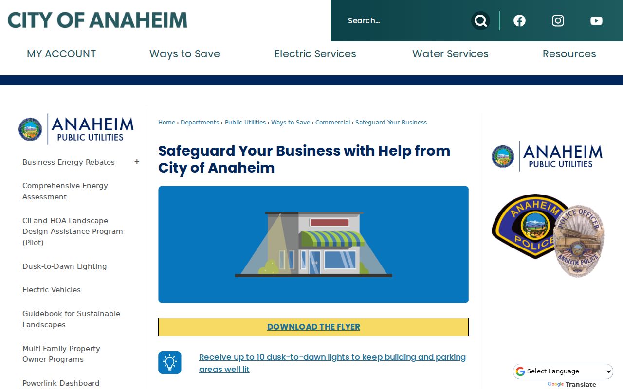
The Neighborhood Services image shows the civic route for learning about a district without asking for private member information.
Anaheim Neighborhood Services Is Not HOA
No official current Anaheim HOA, block-watch, congregation, civic-club, or neighborhood-association member roster surfaced in the reviewed sources. Older Central, East, South, and West Neighborhood Council areas appear in historic city material, but current private rosters and chairs should not be inferred from those documents.
This absence is useful. It keeps a block search from presenting a city engagement program as a directory of private people. Public meetings and city staff contacts can help a person learn about a block's civic channel. They cannot supply a private phone list or prove who attends a meeting.
Note: Community geography can describe a place, but it does not establish household membership, current occupancy, or a private association's internal roster.
Use Reverse Directories for Historical Anaheim Neighbors
For past households, the Heritage Center's city and reverse directories can show a listed name at an address. Start with the target parcel and inspect the street-order section for adjoining houses. Record the exact year, address, printed name, occupation or business, and volume abbreviation. Nearby years can show a move or changed listing.
Pair that address clue with newspapers, census schedules, deeds, permits, photographs, or oral histories. The older street names matter: Center Street is now Lincoln Avenue, Los Angeles Street is now Anaheim Boulevard, and Pacifico Street became Gene Autry Way in 1991. A historical neighbor can disappear from a search that uses only modern street language.
The full street-by-street current record chain belongs on the Anaheim street directory page. Reverse directories are the historical layer around the block.
Why Anaheim Voter Data Has Limits
The Orange County voter status tool is for an individual checking registration and election information. California voter-file access under Elections Code section 2194 is limited to approved election, governmental, scholarly, journalistic, political, and defined record-review purposes. A full-file request requires a qualifying use, identification, signature, payment, and security plan.
The research did not establish an official interface where a user enters a street and receives a block of voters. Do not state that one exists. Registration data also excludes driver-license and signature fields and carries rules against harassment, fraudulent use, and commercial communication. A block reference should keep voter information at the lawful, defined-purpose boundary.
Use the Orange County voter-data rules for the approved request route, not for a casual search.
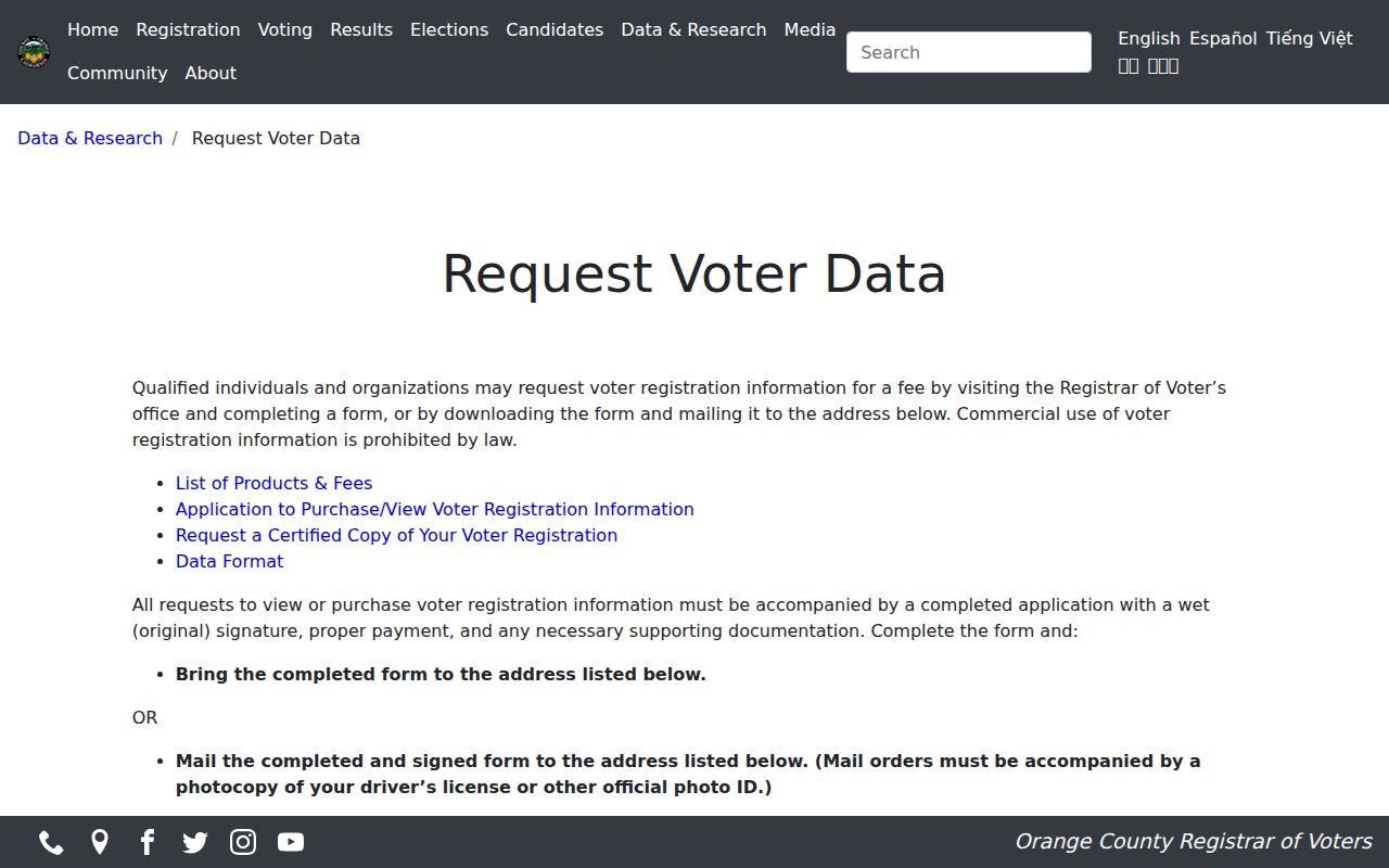
The voter-data image illustrates why a public record can still have strict purpose and field limits.
Official Anaheim Rolls Versus Neighbor Tools
Official records identify their custodian and field set. Commercial neighbor tools may combine old addresses, public filings, and third-party data into a paid summary. A summary can be stale, merge two people, or omit why a field appeared. An official index can also be incomplete, but it gives the researcher a source to check and a rule to follow.
| Official block research | Commercial category |
|---|---|
| Parcel, APN, legal, zoning, and district fields have a named custodian | Addresses may be combined from sources with different dates |
| Owner information follows Assessor access limits | A report may imply a person is nearby without a clear source |
| Permits and deeds can be checked at the source | Payment does not make an aggregation proof |
| Privacy, protected addresses, and lawful-use rules remain visible | Readers must assess the category's own accuracy and use limits |
The safer choice is to keep the question narrow, use the official custodian, and stop when the source does not support a person-level claim.
Privacy Limits on an Anaheim Neighbor Lookup
Renters and household members are not a public parcel field. Utility and delivery records are not an Anaheim block directory. DMV address data is restricted. Safe at Home participants can use a substitute address and confidential voting. California's data-broker deletion process also gives residents a route to reduce certain broker-held records, but deleting a broker record does not remove a government record from its custodian.
Use neighbor research for getting to know a block, reconnecting with a lawful community contact, family history, property curiosity, or personal safety awareness. Do not use a map, deed, voter file, registry, or address lead to watch, stalk, harass, intimidate, or harm anyone.
Lawful use. Nearby households can be understood through public geography and civic channels, not through a license to expose private household data. Stop at the privacy boundary.
The California DROP portal is an official opt-out and deletion route for eligible data-broker requests.
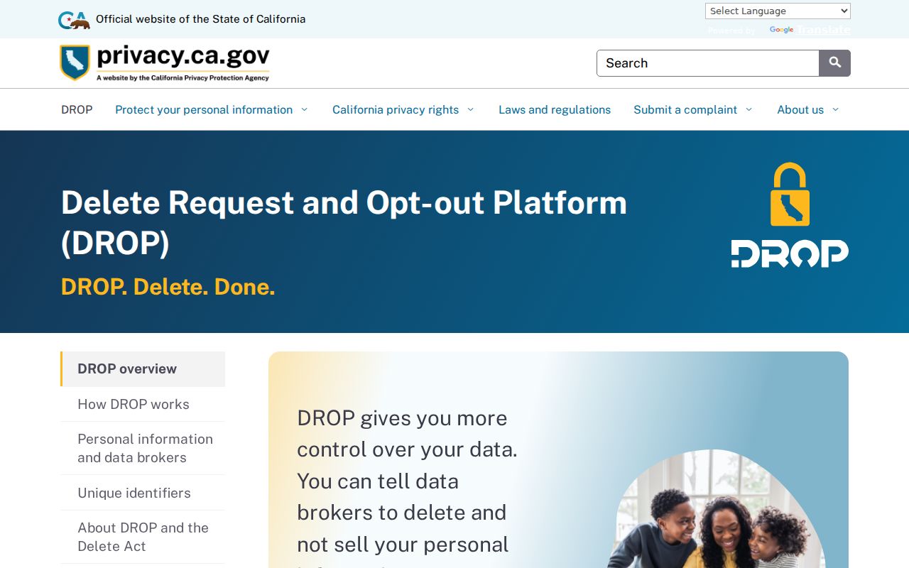
The data-privacy image belongs to the protection side of the block question, not to a public household search.
Registry data also carries legal warnings. The California Megan's Law search should be used only as its official instructions allow and never for harassment.
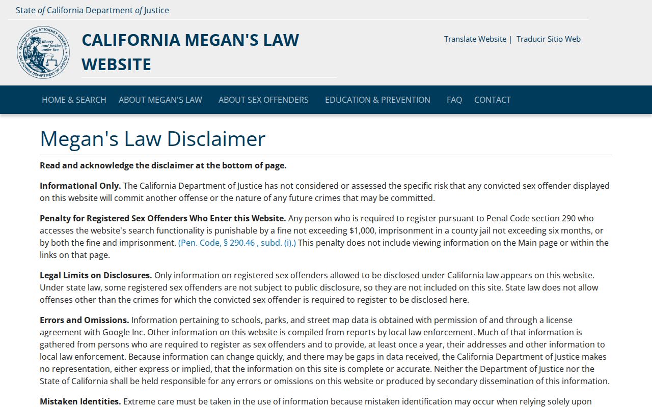
The registry image reinforces the need to read the source's warning before using any result.